
NVIDIA Shows European Teams Applying Earth-2 to Local Weather and Climate Risks
AI Industry Applications

NVIDIA Shows European Teams Applying Earth-2 to Local Weather and Climate Risks

NVIDIAOct 21, 2026

NVIDIA described European projects using Earth-2 models for satellite-based forecasting, cyclone risk analysis, air-quality modeling and solar-energy prediction.

NVIDIA’s October 21, 2026, Earth-2 update describes European organizations applying its open AI models and tools to regional forecasting and environmental research. The examples range from short-term cloud prediction to cyclone-risk analysis, air quality and solar-energy forecasting; several are still research or evaluation efforts.

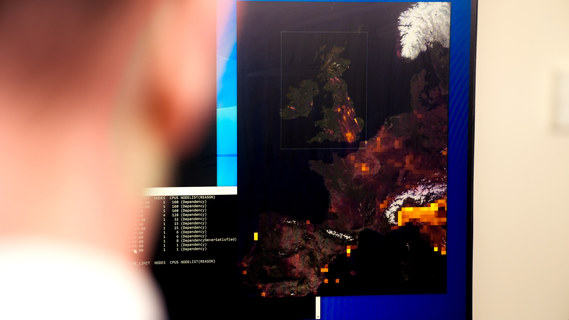
A new regional model, StormScope EU, was trained on European weather and climate data. It uses EUMETSAT satellite observations to predict changing cloud conditions across 16 Meteosat channels at 10-minute intervals. At GTC Berlin, NVIDIA is demonstrating a pipeline built with Earthmover: Earth2Studio runs forecasts, and Earthmover’s platform serves results as map tiles, refreshed as new satellite observations arrive.

The company says developers can combine StormScope for short-term forecasts with CorrDiff to add local detail to coarser weather data. NVIDIA’s open-source PhysicsNeMo framework provides tools for training and customizing models with an organization’s own data and expertise.

The listed deployments have different aims and stages. AXA is using FourCastNet 3 to examine regional cyclone risk across more than 1,000 simulated seasons, with results intended to inform risk assessments. Vaisala Xweather is combining Earth-2 with its observations, lightning data and forecasting expertise; it is adapting StormScope to work with lightning data and plans to make resulting warnings available through its software services and AI-assistant integrations.

Researchers at the University of Manchester adapted CorrDiff for U.K. air-quality modeling, training it on the Isambard-AI supercomputer and running it locally on DGX Spark systems. TotalEnergies is evaluating StormScope-based solar-radiation nowcasts at two photovoltaic sites while developing weather information at subhourly intervals. Separately, Space42 developed SARDiff4Height, which uses CorrDiff and PhysicsNeMo to estimate surface heights from a single radar image and generate uncertainty maps.

Together, these examples show Earth-2 being adapted for regional applications rather than used solely for global forecasting. The work ranges from a live demonstration to exploratory forecasting and research, so the article does not present all projects as production deployments.

Industry Impact

Earth-2 moves into regional applications

Weather services, insurance, air quality and solar energy

Overview

NVIDIA’s examples show how Earth-2 models can be adapted to regional data and specialized forecasting needs, from satellite-based cloud updates to cyclone risk and solar-radiation nowcasts. For product managers and business leaders, the projects point to potential services built around local, frequently refreshed forecasts, while their research and evaluation status limits conclusions about operational performance. Data scientists and researchers can assess approaches for combining models with satellite, lightning and organization-specific data, including local processing on DGX Spark systems.

Key Impact Points

StormScope EU uses satellite observations to predict cloud conditions across 16 Meteosat channels at 10-minute intervals.

AXA is examining cyclone risk across more than 1,000 simulated seasons, while Vaisala Xweather is adapting StormScope to lightning data.

Air-quality modeling and solar-radiation forecasting extend Earth-2 applications beyond general weather forecasting, though projects remain at different stages.

Opportunities

Specialized regional forecast services

Weather services, insurance, environmental research and solar energy

The article supports opportunities to develop specialized forecasting services using Earth-2 models and regional data. Weather providers could adapt StormScope to combine satellite observations with lightning data and make warnings available through existing software services, as Vaisala Xweather plans. Insurers could explore cyclone-risk analysis, while energy operators could evaluate subhourly solar-radiation forecasts at photovoltaic sites. Researchers and environmental organizations may also adapt CorrDiff for local air-quality modeling. These are potential applications, not established commercial outcomes: the article describes a mix of demonstration, research and evaluation work. Any service would need to be assessed for forecast performance and usefulness in its intended workflow.

  • Regional weather and hazard forecasting

    Problem: Broad weather forecasts may not provide the regional detail or specialized warnings needed by local services and risk assessors.

    Solution: Adapt Earth-2 models with regional observations, including satellite or lightning data, to generate localized forecasts and warnings.

    Target Users: Weather service providers and organizations assessing regional cyclone risk.

    Business Value: Could support more tailored forecasting and risk assessment; the article does not establish measured business outcomes.

    Revenue Potential: Potentially through weather software services and warning integrations; Vaisala Xweather plans to offer resulting warnings through its services and AI-assistant integrations.

Reference link

https://blogs.nvidia.com/blog/europe-earth-2-open-models-weather-climate-prediction

Image Source Link

https://blogs.nvidia.com/wp-content/uploads/2026/09/Is-AI-Poll-01_1920x1080.jpg

Community Discussion (0)

Loading discussions...